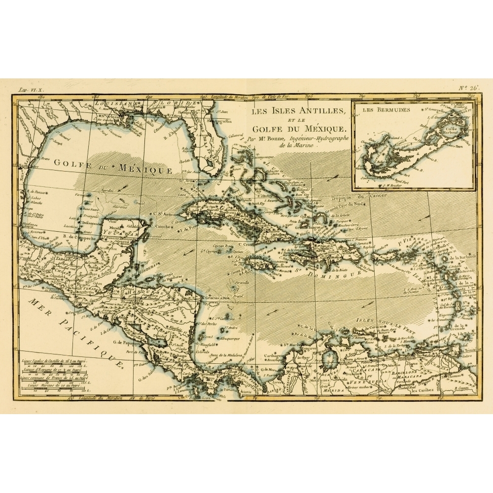
Posterazzi DPI1859963LARGE Map of The West Indies & The Mexican Gulf Circa.1760 From Atlas De Toutes Les Parties Connues Du Globe Terrestre Poster Print, Large - 34 x 24
No rating yet(0 ratings)We are the ultimate destination for Posters and Prints. We offer an incredible selection of images from the unique worlds of Fine Art, Movies, Photography, Music, Pop Culture and more. We are constantly working to build the best Poster and Print, filled with New Releases, Timeless Classics and Hard to find titles that will satisfy you’re every need.
Our products also make the perfect gift for any occasion. Features Map Of The West Indies & The Mexican Gulf Circa.1760 From Atlas De Toutes Les Parties Connues Du Globe Terrestre Poster Print Designed with precision and functionality Value for money Superior quality design Wide collection of posters to choose from Choices for every styleSpecifications Artist: Ken Welsh & Design Pics Type: Photo Print Size: 34 x 24 in. - SKU: PSTRZ29625
Description
Description
Shipping & Returns
Shipping & Returns
Ratings and customer reviews
0 ratings
0 reviews
Share your experience
Checking your account…
No customer reviews yet. Be the first to share your experience.
Customer questions and answers
Ask about this product. Shipping, orders, and account issues belong with customer support.
Sign in or register to ask or answer.
No matching approved questions. Be the first to ask.