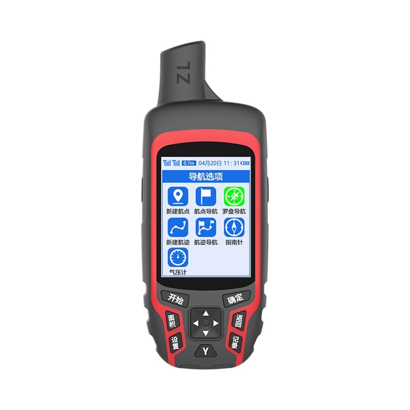
A6 Handheld GPS 2.8 Inch LCD — Camping & Land Surveying Tool for Farmland Length, Longitude/Latitude and Altitude Measurement
Compact A6 handheld GPS with a 2.8 Inch LCD, designed for outdoor navigation and field work. Ideal for camping and land surveying, it captures exact longitude, latitude and altitude readings and can measure farmland length and area. Use it for coordinate collection, marking project or mining points, and fixed-point fishing position keeping. Portable and straightforward, it’s built to record and manage location data for surveying, agricultural and outdoor tasks.
Shipping & Returns
Shipping & Returns
Price unavailable
A6 Handheld GPS 2.8 Inch LCD — Camping & Land Surveying Tool for Farmland Length, Longitude/Latitude and Altitude Measurement—
$464.00